Back to Results
First PageMeta Content
Shuttle Radar Topography Mission / Satellite imagery / Landsat 7 / Landsat program / Georeference / Gazetteer / Borneo / Spacecraft / Geographic information systems / Cartography


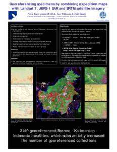
Georeferencing specimens by combining expedition maps with Landsat 7, JERS-1 SAR and SRTM satellite imagery Niels Raes, Johan B. Mols, Luc Willemse & Erik Smets National Herbarium of the Netherlands – Leiden University
Add to Reading List

Document Date: 2007-01-04 13:42:03


Open Document

File Size: 151,98 KB

Share Result on Facebook

Country

Indonesia / /

Currency

SAR / /

/

Event

Environmental Issue / /

IndustryTerm

satellite image / online gazetteers / high resolution satellite data / satellite imagery / /

Organization

Leiden University / /

Person

Erik Smets / Luc Willemse / Johan B. Mols / /

URL

http /

SocialTag