Shapefile

Results: 1236


#Item
41Fundamentals of ArcGIS Course Length: 16 hrs ArcGIS Version: 10.x  Overview

Fundamentals of ArcGIS Course Length: 16 hrs ArcGIS Version: 10.x Overview

Add to Reading List

Source URL: teachmegis.com

Language: English - Date: 2015-11-17 11:07:28
42Performing Table Joins QGIS Tutorials and Tips Author  Ujaval Gandhi

Performing Table Joins QGIS Tutorials and Tips Author Ujaval Gandhi

Add to Reading List

Source URL: www.qgistutorials.com

Language: English - Date: 2016-07-12 08:56:07
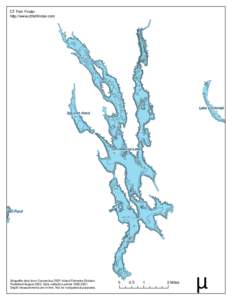
43CT Fish Finder http://www.ctfishfinder.com

CT Fish Finder http://www.ctfishfinder.com

Add to Reading List

Source URL: www.ctfishfinder.com

Language: English - Date: 2009-02-23 01:13:48
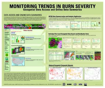
44MONITORING TRENDS IN BURN SEVERITY Geospatial Data Access and Online Data Summaries DATA ACCESS AND ONLINE DATA SUMMARIES The Monitoring Trends in Burn Severity (MTBS) project currently provides fire mapping and burn sev

MONITORING TRENDS IN BURN SEVERITY Geospatial Data Access and Online Data Summaries DATA ACCESS AND ONLINE DATA SUMMARIES The Monitoring Trends in Burn Severity (MTBS) project currently provides fire mapping and burn sev

Add to Reading List

Source URL: www.mtbs.gov

Language: English - Date: 2016-03-29 11:40:09
45ECO GUIDE TO  Unstratified Samples What Is an Unstratified Sampled? If you have decided to conduct a sample inventory, you will be collecting data for plots located throughout your study area. In this type of project, yo

ECO GUIDE TO Unstratified Samples What Is an Unstratified Sampled? If you have decided to conduct a sample inventory, you will be collecting data for plots located throughout your study area. In this type of project, yo

Add to Reading List

Source URL: www.itreetools.org

Language: English - Date: 2016-06-09 18:13:53
46TCEQ Superfund Sites Table of Contents : ● ● ● ●

TCEQ Superfund Sites Table of Contents : ● ● ● ●

Add to Reading List

Source URL: www.tceq.texas.gov

Language: English - Date: 2015-11-02 19:48:02
47Mapa geològic de Catalunya Geotreball IV. Mapa de sòls 1:Especificacions per al format “ESRI Shapefile” (SHP)

Mapa geològic de Catalunya Geotreball IV. Mapa de sòls 1:Especificacions per al format “ESRI Shapefile” (SHP)

Add to Reading List

Source URL: www1.igc.cat

Language: Spanish - Date: 2015-12-23 08:10:19
    48LiDAR Data Library Frequently Asked Questions (FAQ) What equipment is used for collection? North West Geomatics uses Leica sensors and Cessna aircraft for acquisition. The Leica LiDAR sensor is the ALS50, with a pulse ra

    LiDAR Data Library Frequently Asked Questions (FAQ) What equipment is used for collection? North West Geomatics uses Leica sensors and Cessna aircraft for acquisition. The Leica LiDAR sensor is the ALS50, with a pulse ra

    Add to Reading List

    Source URL: www.valtus.com

    Language: English - Date: 2016-06-23 12:45:22
    49STANDARD FOR DIGITAL STORMWATER SYSTEM DATA EXCHANGE PILOT PROJECT Carrie Mack GIS Technician Ramsey-Washington Metro Watershed District

    STANDARD FOR DIGITAL STORMWATER SYSTEM DATA EXCHANGE PILOT PROJECT Carrie Mack GIS Technician Ramsey-Washington Metro Watershed District

    Add to Reading List

    Source URL: www.metrogis.org

    Language: English - Date: 2014-07-24 09:13:22
    50Spatial analysis and sptial models.

    Spatial analysis and sptial models.

    Add to Reading List

    Source URL: webspace.ship.edu

    Language: English - Date: 2016-05-03 17:51:08