 Date: 2016-01-16 12:35:08
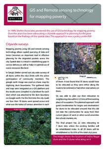
| |  GIS and Remote sensing technology for mapping poverty In 1999, Shelter Associates pioneered the use of GIS technology for mapping poverty. Over the years has been advocating a citywide approach to planning for the poor b GIS and Remote sensing technology for mapping poverty In 1999, Shelter Associates pioneered the use of GIS technology for mapping poverty. Over the years has been advocating a citywide approach to planning for the poor b
Add to Reading ListSource URL: www.shelter-associates.orgDownload Document from Source Website File Size: 1,22 MBShare Document on Facebook
|