31 | Add to Reading ListSource URL: www.geosoluciones.clLanguage: English - Date: 2012-04-24 19:44:07
|
|---|
32 | Add to Reading ListSource URL: www.geosoluciones.clLanguage: English - Date: 2012-04-24 19:43:51
|
|---|
33 | Add to Reading ListSource URL: www.geosoluciones.clLanguage: English - Date: 2012-04-24 19:43:40
|
|---|
34 | Add to Reading ListSource URL: www.agile-online.orgLanguage: English - Date: 2006-04-11 10:56:06
|
|---|
35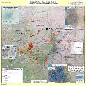 | Add to Reading ListSource URL: www.mapcruzin.comLanguage: English - Date: 2014-08-28 12:48:24
|
|---|
36![© DigitalGlobe[removed]HERITAGE IN DANGER Monitoring emergency situations Quickbird image acquired on 28 February, 2012: the old Aleppo citadel is wrapped with a giant Syrian flag since 29 July, 2011 © DigitalGlobe[removed]HERITAGE IN DANGER Monitoring emergency situations Quickbird image acquired on 28 February, 2012: the old Aleppo citadel is wrapped with a giant Syrian flag since 29 July, 2011](https://www.pdfsearch.io/img/fe6754cfd3b670f6585fbb93dd7d8421.jpg) | Add to Reading ListSource URL: icom.museumLanguage: English - Date: 2013-01-28 12:13:03
|
|---|
37![Homs (as of 21 April[removed]Aleppo (as of 23 May[removed]affected structures in Homs, 8,510 in Aleppo, 5,233 in Hama, 3,112 in Deir Ez Zor, 467 in Ar Homs (as of 21 April[removed]Aleppo (as of 23 May[removed]affected structures in Homs, 8,510 in Aleppo, 5,233 in Hama, 3,112 in Deir Ez Zor, 467 in Ar](https://www.pdfsearch.io/img/9ccf4d9efdf4a74eb33206c506cc73ce.jpg) | Add to Reading ListSource URL: reliefweb.intLanguage: English - Date: 2014-11-18 16:16:51
|
|---|
38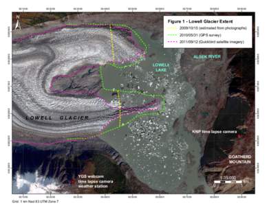 | Add to Reading ListSource URL: www.geology.gov.yk.ca- Date: 2014-11-14 17:37:31
|
|---|
39 | Add to Reading ListSource URL: calval.cr.usgs.govLanguage: English - Date: 2012-04-11 16:12:11
|
|---|
40![Geolocation Accuracy Re-Evaluations of GeoEye-1 and QuickBird-2 Paul C. Bresnahan Contractor, NGA Image Quality and Utility Program[removed]JACIE Workshop Geolocation Accuracy Re-Evaluations of GeoEye-1 and QuickBird-2 Paul C. Bresnahan Contractor, NGA Image Quality and Utility Program[removed]JACIE Workshop](https://www.pdfsearch.io/img/d982e7feab29e6aed5059b717597201a.jpg) | Add to Reading ListSource URL: calval.cr.usgs.govLanguage: English - Date: 2012-04-10 16:21:20
|
|---|