Back to Results
First PageMeta Content
Computer vision / Remote sensing / Moderate-Resolution Imaging Spectroradiometer / Spatial analysis / LIDAR / Snow hydrology / Multispectral pattern recognition / Cartography / Statistics / Earth


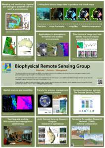
Mapping and monitoring physical and biological properties of the earth’s environments Linking field data to image data to produce and check maps
Add to Reading List

Document Date: 2014-03-04 00:09:45


Open Document

File Size: 2,41 MB

Share Result on Facebook

Company

Management The Biophysical Remote Sensing Group / /

Country

Australia / Fiji / /

NaturalFeature

Barakula State Forest / /

Region

eastern Australia / /

Technology

Image Processing / Remote Sensing / /

URL

www.gpem.uq.edu.au/cser-rstoolkit / www.gpem.uq.edu.au/brg / www.auscover.org.au / /

SocialTag