LizardTech

Results: 190


#Item
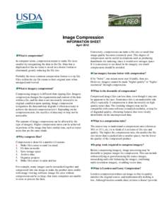
41Image Compression INFORMATION SHEET April 2012 What is compression? In computer terms, compression means to make file sizes

Image Compression INFORMATION SHEET April 2012 What is compression? In computer terms, compression means to make file sizes

Add to Reading List

Source URL: www.fsa.usda.gov

Language: English - Date: 2012-04-19 10:11:54
42Free and Open Source Web Mapping

Free and Open Source Web Mapping

Add to Reading List

Source URL: www.asprs.org

Language: English - Date: 2014-10-02 18:21:07
431998 Mississippi Geospatial Technology Survey Results Produced for: NASA/SSC Commercial Remote Sensing Program Workforce Development Education &

1998 Mississippi Geospatial Technology Survey Results Produced for: NASA/SSC Commercial Remote Sensing Program Workforce Development Education &

Add to Reading List

Source URL: careers.geocomm.com

Language: English - Date: 2000-08-30 11:58:31
44Geospatial Information and Geographic Information Systems (GIS): Current Issues and Future Challenges

Geospatial Information and Geographic Information Systems (GIS): Current Issues and Future Challenges

Add to Reading List

Source URL: www.fas.org

Language: English - Date: 2014-05-06 13:27:02
45MapInfo Professional Version 12.5 Install Guide Notices

MapInfo Professional Version 12.5 Install Guide Notices

Add to Reading List

Source URL: reference.mapinfo.com

Language: English - Date: 2014-05-30 07:57:10
46GEOSPATIAL BROWN BAG LUNCH  The OGC Standards: Consensus Process and Research Collaboration Carl Reed Chief Technology Officer,

GEOSPATIAL BROWN BAG LUNCH The OGC Standards: Consensus Process and Research Collaboration Carl Reed Chief Technology Officer,

Add to Reading List

Source URL: ibis-live.nrel.colostate.edu

Language: English - Date: 2011-04-28 12:05:37
47Microsoft Word - Future trends in geospatial information management summary_12April.doc

Microsoft Word - Future trends in geospatial information management summary_12April.doc

Add to Reading List

Source URL: vcgi.vermont.gov

Language: English - Date: 2013-06-17 09:21:31
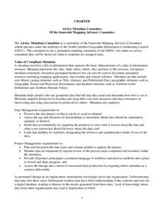
48CHARTER Ad-hoc Metadata Committee Of the Statewide Mapping Advisory Committee The Ad-hoc Metadata Committee is a committee of the Statewide Mapping Advisory Committee, which operates under the authority of the North Caro

CHARTER Ad-hoc Metadata Committee Of the Statewide Mapping Advisory Committee The Ad-hoc Metadata Committee is a committee of the Statewide Mapping Advisory Committee, which operates under the authority of the North Caro

Add to Reading List

Source URL: www.ncgicc.net

Language: English - Date: 2013-04-12 16:14:25
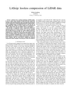
49LASzip: lossless compression of LiDAR data Martin Isenburg LAStools http://laszip.org  Abstract—Airborne laser scanning technology (LiDAR) makes

LASzip: lossless compression of LiDAR data Martin Isenburg LAStools http://laszip.org Abstract—Airborne laser scanning technology (LiDAR) makes

Add to Reading List

Source URL: www.cs.unc.edu

Language: English - Date: 2011-11-27 07:49:26
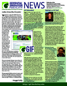
50GIF logos_5.01_swirl options

GIF logos_5.01_swirl options

Add to Reading List

Source URL: gif.berkeley.edu

Language: English - Date: 2011-06-03 11:47:01