<--- Back to Details
First PageDocument Content
Guggenheim Fellows / Cartography / Geography / Cartography and Geographic Information Society / Academia / David Woodward / Alan MacEachren / Geovisualization / Cartographer / Mark Monmonier
Date: 2011-05-01 07:55:15
Guggenheim Fellows
Cartography
Geography
Cartography and Geographic Information Society
Academia
David Woodward
Alan MacEachren
Geovisualization
Cartographer
Mark Monmonier

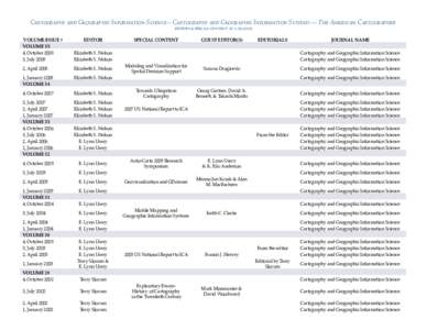
Cartography and Geographic Information Science – Cartography and Geographic Information Systems --- The American Cartographer editors & special content at a glance VOLUME/ISSUE # VOLUME 35 4, October 2008

Add to Reading List

Source URL: www.cartogis.org

Download Document from Source Website

File Size: 149,33 KB

Share Document on Facebook

Similar Documents

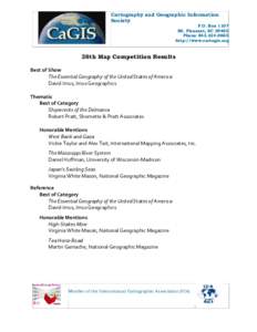
Cartography and Geographic Information Society P.O. Box 1107 Mt. Pleasant, SCPhone

Cartography and Geographic Information Society P.O. Box 1107 Mt. Pleasant, SCPhone

DocID: 1rBO3 - View Document

Cartography and Geographic Information Science – Cartography and Geographic Information Systems --- The American Cartographer editors & special content at a glance VOLUME/ISSUE # VOLUME 35 4, October 2008
Cartography and Geographic Information Science – Cartography and Geographic Information Systems --- The American Cartographer editors & special content at a glance VOLUME/ISSUE # VOLUME 35 4, October 2008

DocID: 1rtN1 - View Document

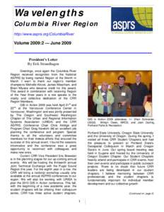
Wavelengths Columbia River Region http://www.asprs.org/ColumbiaRiver Volume 2009:2 — June 2009

Wavelengths Columbia River Region http://www.asprs.org/ColumbiaRiver Volume 2009:2 — June 2009

DocID: 1rrFz - View Document

NOV INTERNATIONAL PUBLICATIONS ON CARTOGRAPHY CARTOGRAPHICA formerly THE CANADIAN CARTOGRAPHER and CARTOGRAPHICA MONOGRAPHS

NOV INTERNATIONAL PUBLICATIONS ON CARTOGRAPHY CARTOGRAPHICA formerly THE CANADIAN CARTOGRAPHER and CARTOGRAPHICA MONOGRAPHS

DocID: 1roji - View Document

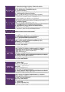
I/2 - LiDaR, SAR and Optical Sensors for Airborne and Spaceborne Platforms 1 III/1 - Orientation and Surface Reconstruction 1 VIII/ThS 2 Operational Remote Sensing Application Services 1 WednesdayII/1 - Spatio-tem

I/2 - LiDaR, SAR and Optical Sensors for Airborne and Spaceborne Platforms 1 III/1 - Orientation and Surface Reconstruction 1 VIII/ThS 2 Operational Remote Sensing Application Services 1 WednesdayII/1 - Spatio-tem

DocID: 1rj7X - View Document