<--- Back to Details
| First Page | Document Content | |
|---|---|---|
 Date: 2011-11-16 09:25:05GPS Geodesy Avionics Navigation Satellite navigation systems Radio occultation MetOp Global Positioning System Danish Meteorological Institute Technology Spaceflight Meteorology |
Add to Reading List |
 | Compilation of RGB Recipes How to create the EUMETSAT suggested standard RGB images from METEOSAT/SEVIRI and MetOp/AVHRR data? Table of content Introduction ...............................................................DocID: 1tO4J - View Document |
 | Rear view of business colleagues during a discussionDocID: 1t3fq - View Document |
 | METOP_Kompetenzen_01_englischDocID: 1sYll - View Document |
 | JPSS-REQJoint Polar Satellite System (JPSS) Level 1 Requirements Document – FinalDocID: 1rmRF - View Document |
 | U.S. Department of Commerce National Oceanic and Atmospheric Administration National Environmental Satellite, Data, and Information Service NOAA Satellite Conference 2015DocID: 1rkVQ - View Document |
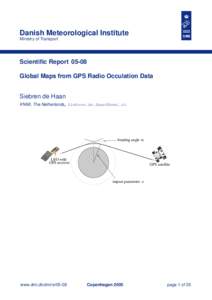
 Danish Meteorological Institute Ministry of Transport Scientific ReportGlobal Maps from GPS Radio Occulation Data Siebren de Haan