 Date: 2012-08-21 08:36:11
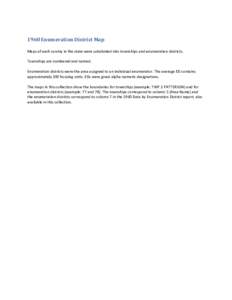
| |  1960 Enumeration District Map Maps of each county in the state were subdivided into townships and enumeration districts. Townships are numbered and named. Enumeration districts were the area assigned to an individual enu 1960 Enumeration District Map Maps of each county in the state were subdivided into townships and enumeration districts. Townships are numbered and named. Enumeration districts were the area assigned to an individual enu
Add to Reading ListSource URL: statelibrary.ncdcr.govDownload Document from Source Website File Size: 48,89 KBShare Document on Facebook
|