<--- Back to Details
| First Page | Document Content | |
|---|---|---|
 Date: 2008-08-30 01:13:43Cartography Topographic map Topography Planimetrics Geographic information system Satellite imagery Photogrammetry Landsat program Digital elevation model Thematic map Map Army Map Service |
Add to Reading List |
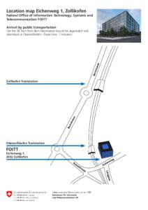
 | Location map Eichenweg 1, Zollikofen Federal Office of Information Technology, Systems and Telecommunication FOITT Arrival by public transportationDocID: 1xVJL - View Document |
 | The Sensorial Map of the City Luca Maria Aiello Yahoo LabsDocID: 1xVyM - View Document |
 | (Microsoft Word - Hölzer-MAP_EinleitungsDOK_FR)DocID: 1xVsj - View Document |
 | This Talk § 1) Node embeddings § Map nodes to low-dimensional embeddings. § 2) Graph neural networksDocID: 1xV9V - View Document |
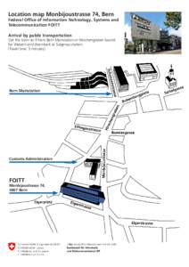
 | Location map Monbijoustrasse 74, Bern Federal Office of Information Technology, Systems and Telecommunication FOITT Arrival by public transportationDocID: 1xV1n - View Document |
 LANDSAT AND SPOT HIGH RESOLUTION SATELLITE IMAGES : A NEW COMPONENT FOR GEOGRAPHIC DATA BASES J. Denegre J.C. Deschamps B. Galtier