ArcGIS

Results: 3644


#Item
91Al-Hader M. and Rodzi A. THE SMART CITY INFRASTRUCTURE DEVELOPMENT & MONITORING Mahmoud AL-HADER Limitless, Dubai United Arab Emirates

Al-Hader M. and Rodzi A. THE SMART CITY INFRASTRUCTURE DEVELOPMENT & MONITORING Mahmoud AL-HADER Limitless, Dubai United Arab Emirates

Add to Reading List

Source URL: um.ase.ro

Language: English - Date: 2009-04-27 12:08:42
92Hydrologic Information Systems and HydroShare Synopsis of Class 20, GIS in Water Resources, Fall 2014 The class has to date focused mostly on Geographic Information Systems (GIS) where the emphasis is on spatial geograph

Hydrologic Information Systems and HydroShare Synopsis of Class 20, GIS in Water Resources, Fall 2014 The class has to date focused mostly on Geographic Information Systems (GIS) where the emphasis is on spatial geograph

Add to Reading List

Source URL: www.caee.utexas.edu

Language: English - Date: 2014-11-02 13:03:48
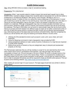
93ArcGIS Online Lesson Title: Using ARCGIS Online to create a map for recreational boating. Prepared by: Tim Linkenheimer Introduction: When I was recently asked to create a lesson that would teach people how to utilize Ar

ArcGIS Online Lesson Title: Using ARCGIS Online to create a map for recreational boating. Prepared by: Tim Linkenheimer Introduction: When I was recently asked to create a lesson that would teach people how to utilize Ar

Add to Reading List

Source URL: www.paview.psu.edu

Language: English - Date: 2015-07-02 09:29:31
94LiDAR User Data Needs Survey Results June 2012 Introduction The Minnesota Geospatial Information Office (MnGeo) is working with the Minnesota Department of Natural Resources (DNR) to develop a data distribution mechanism

LiDAR User Data Needs Survey Results June 2012 Introduction The Minnesota Geospatial Information Office (MnGeo) is working with the Minnesota Department of Natural Resources (DNR) to develop a data distribution mechanism

Add to Reading List

Source URL: www.mngeo.state.mn.us

Language: English - Date: 2012-07-13 15:55:50
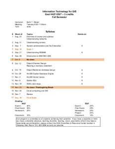
95Information Technology for GIS Geolcredits Fall Semester Instructor: Meeting: Text:

Information Technology for GIS Geolcredits Fall Semester Instructor: Meeting: Text:

Add to Reading List

Source URL: giscenter.isu.edu

Language: English - Date: 2015-07-08 15:34:36
96Geography Matters™ An ESRI ® White Paper • September 2002 ESRI 380 New York St., Redlands, CA, USA • TEL • FAX • E-MAIL  • WEB www.esri.com  Copyright © 20

Geography Matters™ An ESRI ® White Paper • September 2002 ESRI 380 New York St., Redlands, CA, USA • TEL • FAX • E-MAIL • WEB www.esri.com Copyright © 20

Add to Reading List

Source URL: gis.co.lincoln.mn.us

Language: English - Date: 2008-02-29 15:46:58
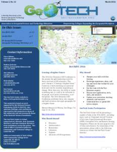
97Volume 2, No. 12  March 2016 A Monthly Newsletter of the National Geospatial Technology

Volume 2, No. 12 March 2016 A Monthly Newsletter of the National Geospatial Technology

Add to Reading List

Source URL:

Language: English - Date: 2016-03-10 09:52:28
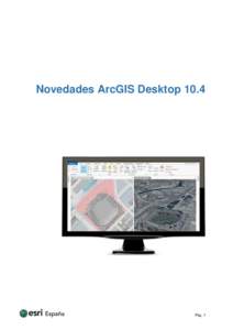
98Novedades ArcGIS DesktopPág. 1 Índice 1.

Novedades ArcGIS DesktopPág. 1 Índice 1.

Add to Reading List

Source URL: ficheros.esri.es

Language: Spanish - Date: 2016-05-12 04:28:32
    99Land Tasmania Colour Report V1

    Land Tasmania Colour Report V1

    Add to Reading List

    Source URL: listdata.thelist.tas.gov.au

    Language: English - Date: 2015-11-11 22:53:14
    100Australian Antarctic Data Centre Data management and spatial data services Menu

    Australian Antarctic Data Centre Data management and spatial data services Menu

    Add to Reading List

    Source URL: data.aad.gov.au

    Language: English - Date: 2016-08-23 00:18:42